Gallery
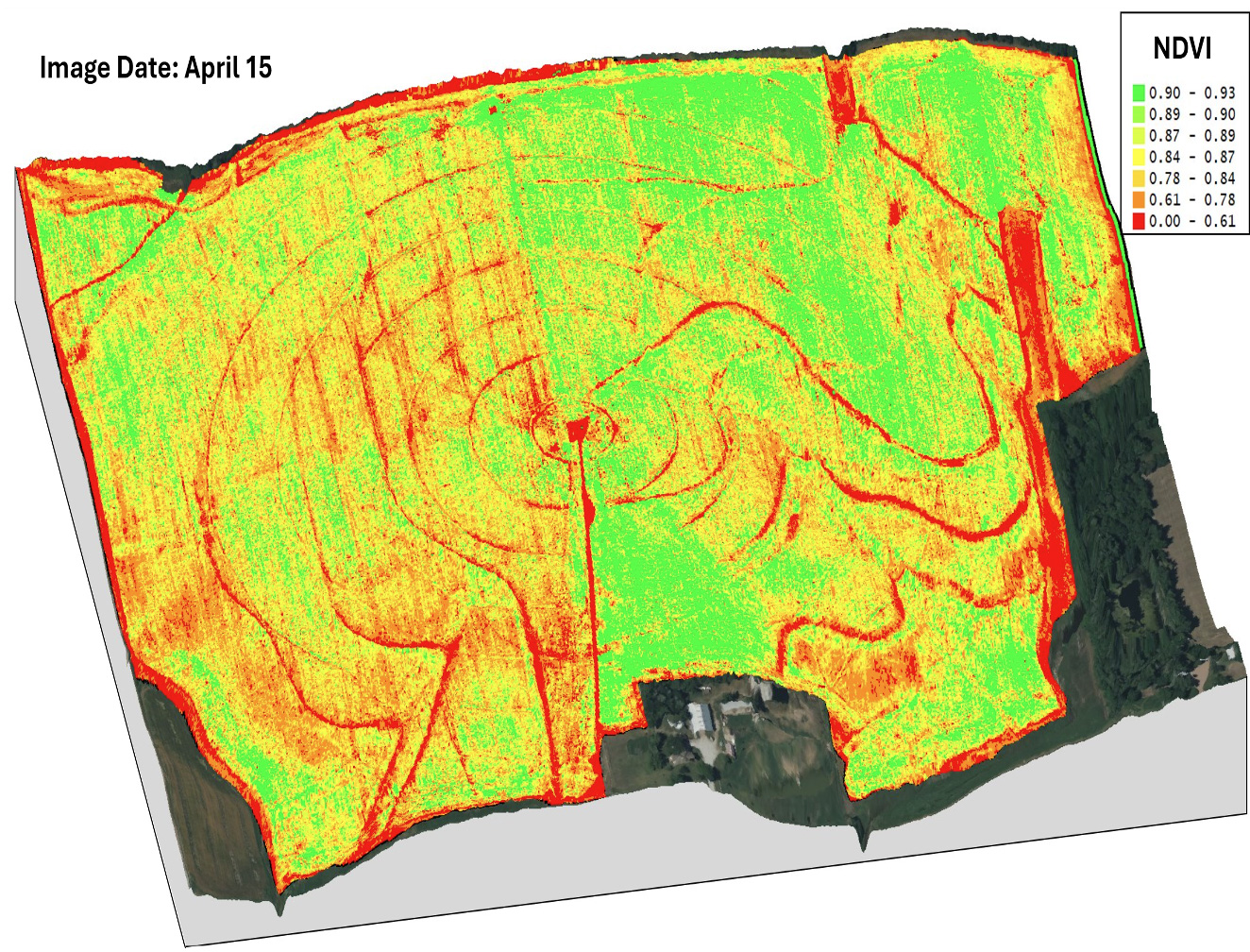
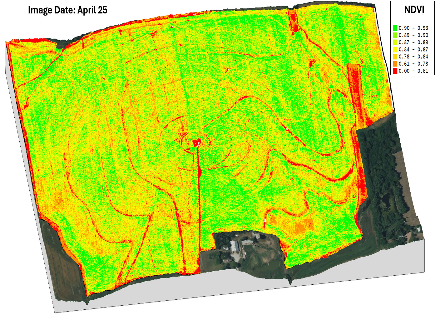
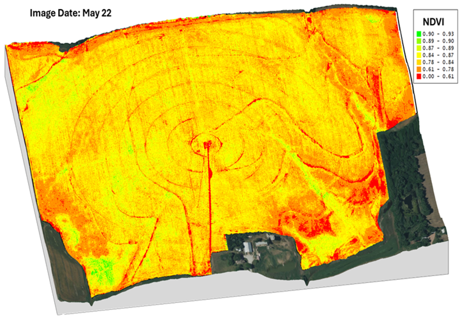
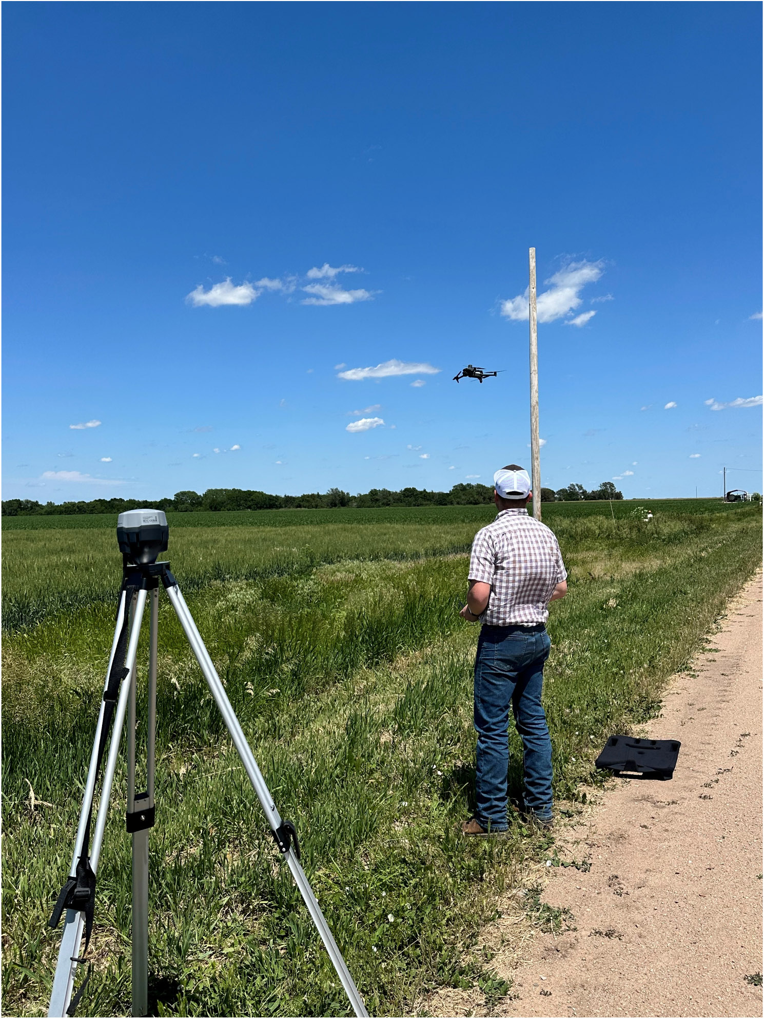
Drone imagery collected from wheat on-farm field at early, mid, and late seasons to monitor wheat growth atFlickner Innovation Farm was overlaid on a topographic map to understand spatial variability in crop growth acrossdifferent landscape positions.
A spray drone was used to evaluate the efficiency of drone-based fungicideapplications in corn
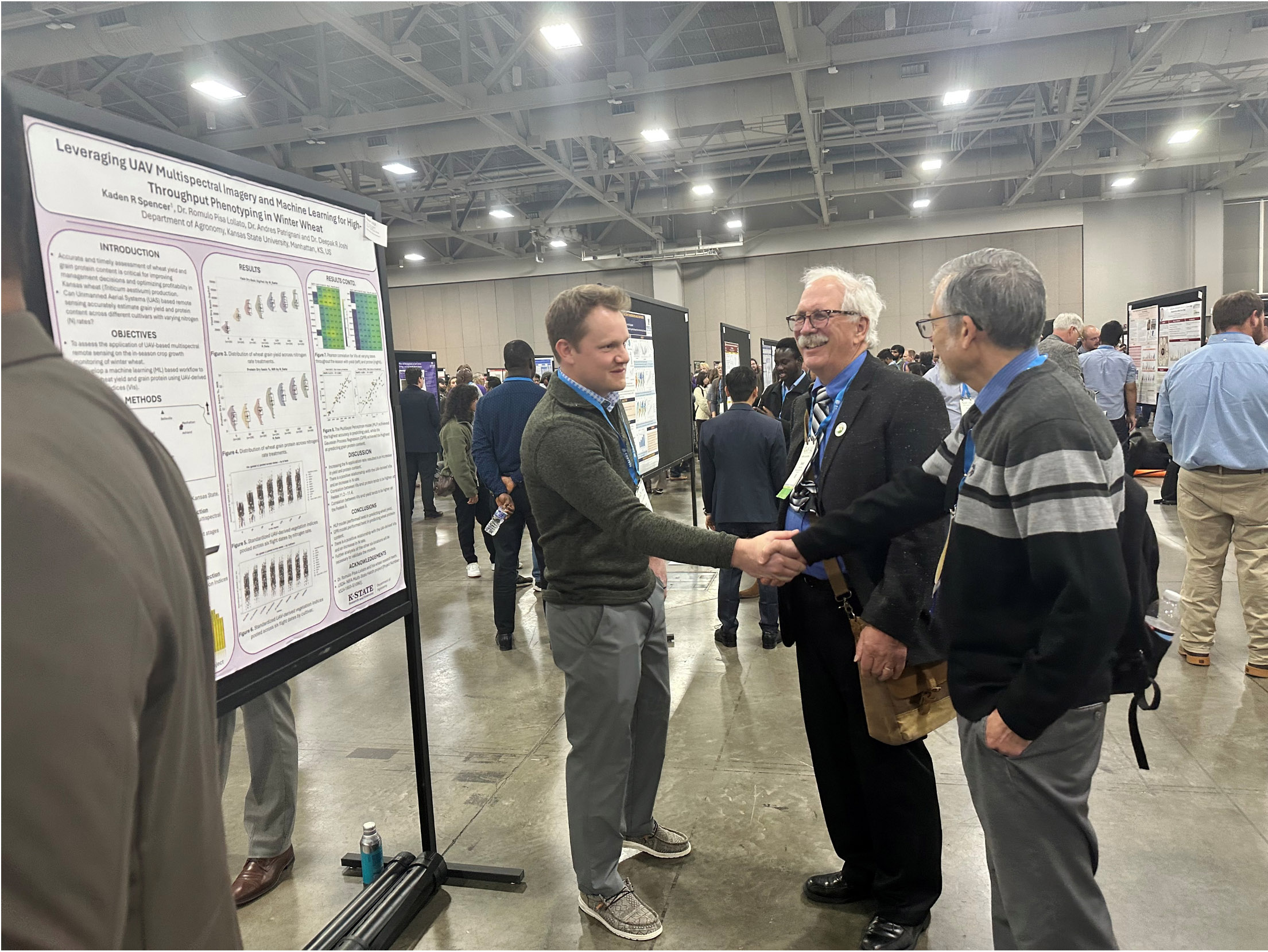
Kaden Spencer, a member of the PADI Lab, participatedin the CANVAS Conference held in Salt Lake City, Utah, andpresented a poster.
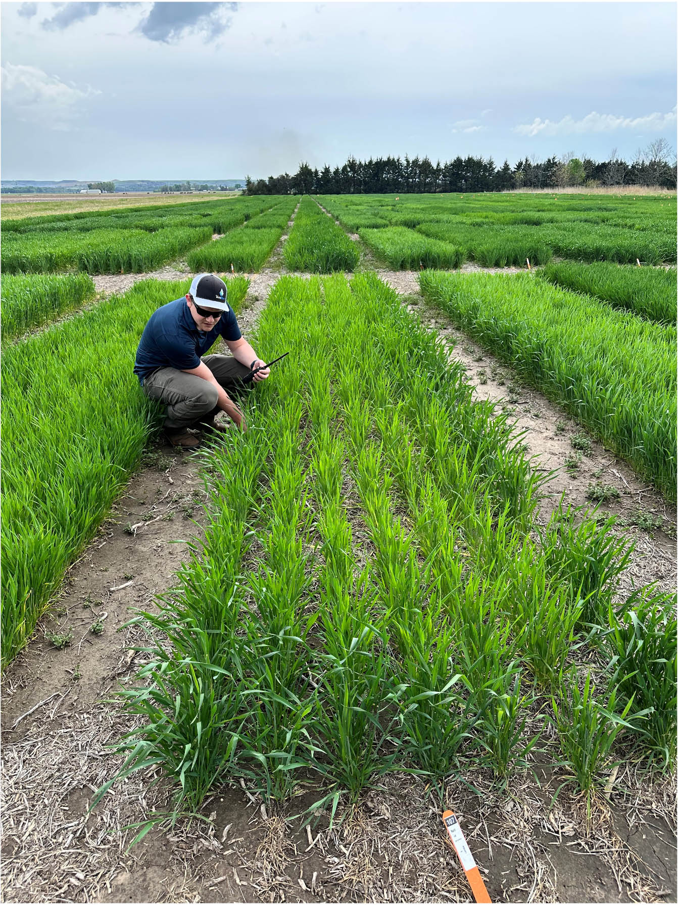
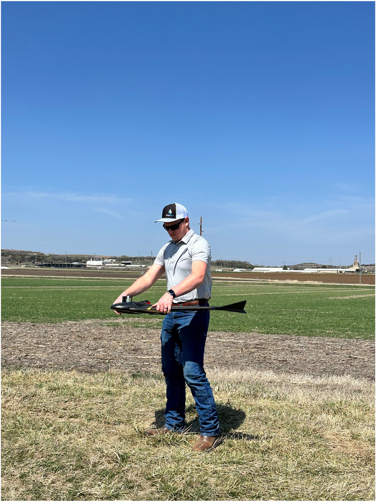
Kaden Spencer, collecting data for his MS thesis work.
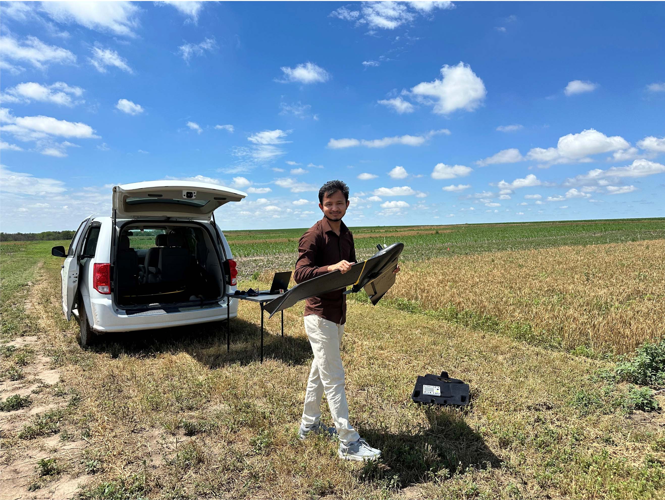
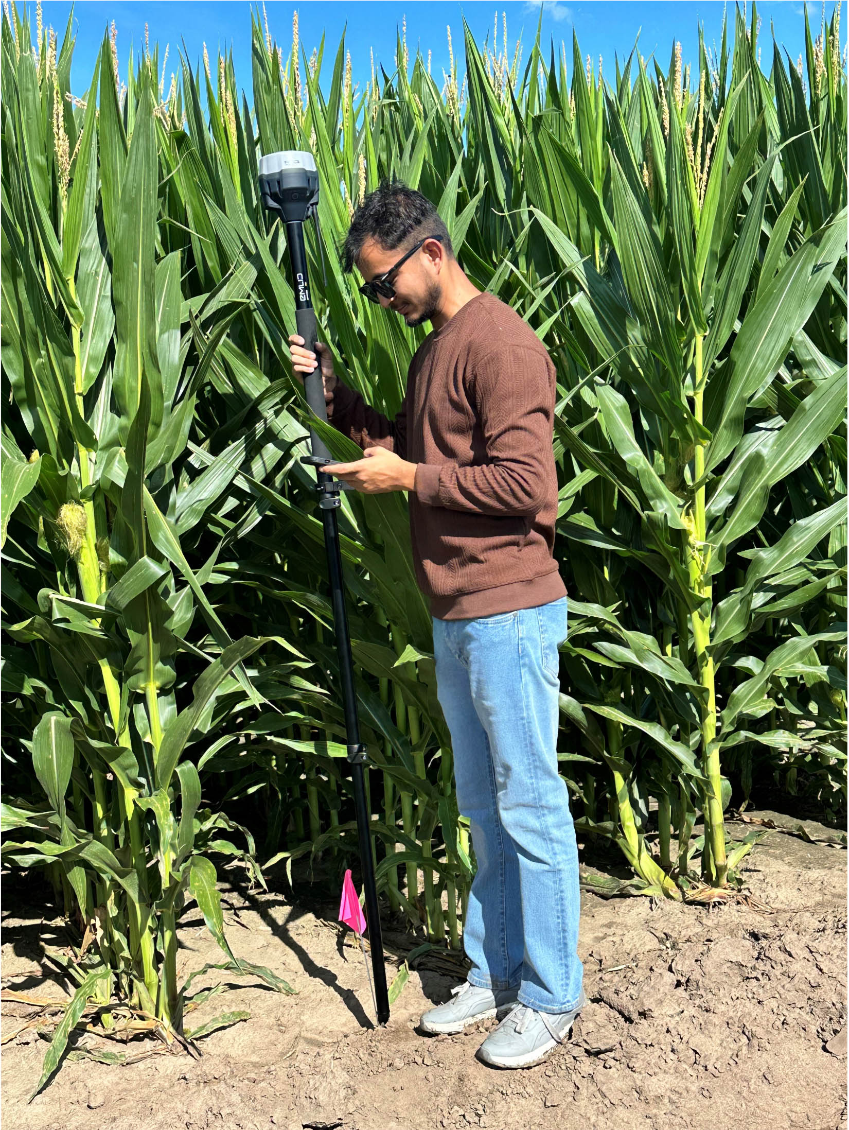
Sangam Bishwakarma collecting drone images and recording GPS location of the plots for his MS thesis work.